 |
| Molly and Tory on the Pink Sand Beach of Harbour Island. |
The Devil’s Backbone is a 6-mile passage that we needed to cross in going from Spanish Wells to Harbour Island. All the guidebooks and chart descriptions strongly recommend hiring a local pilot to steer your boat through the passage that is lined with reefs, coral heads that rise close to the surface and often crashing surf on both sides of the narrow channel. The recommendation also includes the need for flat seas and a high sun in the sky in order to see the coral heads.
We had 4 days in Spanish Wells, plenty of time to mull this
over. Molly was inclined to pay the
$150-$200 for a pilot, but I wanted to do more investigation. All the locals we talked to second the advice
to hire a pilot, but I did read one blog post that suggested otherwise. The blogger noted that his pilot followed the
magenta line on the navigational charts and that depths were never less than 8
feet. He speculated that the guidebooks
were just supporting the local economy and that one was really paying for the
chance to talk with a local on your boat.
 |
| The boat in the background left is one of the several large fishing boats in Spanish Wells. |
 |
| This yacht did have a pilot lead it through the Backbone. The inflatable slide might have cost as much as our boat! |
In the back of my mind, I was thinking that boats up to 150 feet long, 30 feet wide and 7-foot draft take the Devil’s Backbone, and here we are on a 25-foot with 8.5-foot beam and 2-foot draft. I finally spoke with a Canadian who lives part-time in Spanish Wells and has a center console fishing boat similar in size to Salty Paws. He stated that we will have no problem doing the Backbone on our own. That settled it for me, and I plotted our course on two separate chartplotters to have redundancy.
 |
| This is our route through the Devil's Backbone. Green indicates cruising at less than 10 mph; red less than 5 mph. |
 |
| Here Salty Paws is anchored off the beach on Man Island. |
The next five days we anchored in three different spots in
the sound off Harbour Island. We found a
great beach on Man Island to take Liz and family to for a day and also got to do
some extensive walking from Harbour Bottom to the Glass Window, a bridge that
separates the deep blue ocean from the aquamarine, shallow bank and which we
had visited two years ago just before COVID cut short our last trip to the
Bahamas.
 |
| The Lighthouse at Ocean Tally with the best looking bar in the world, but, alas, it is no longer open to the public except as a B & B. |
 |
| Here is the natural pool below the Lighthouse at Ocean Tally. |
 |
| The Glass Window bridge used to be a natural arch between Eleuthera and North Eleuthera. On the left are the deep blue waters of the Atlantic Ocean, and on the right on the Bahamian waters on the Eleuthera Bank. |
 |
| View from near the Glass Window Bridge. |
 |
| We hiked another mile past the Glass Window Bridge to the Queen's Bathes. Tory was first in. We didn't see any royalty, but the main road on each island is called the Queen's Highway. Kate and William had been in the Bahamas the week before. |
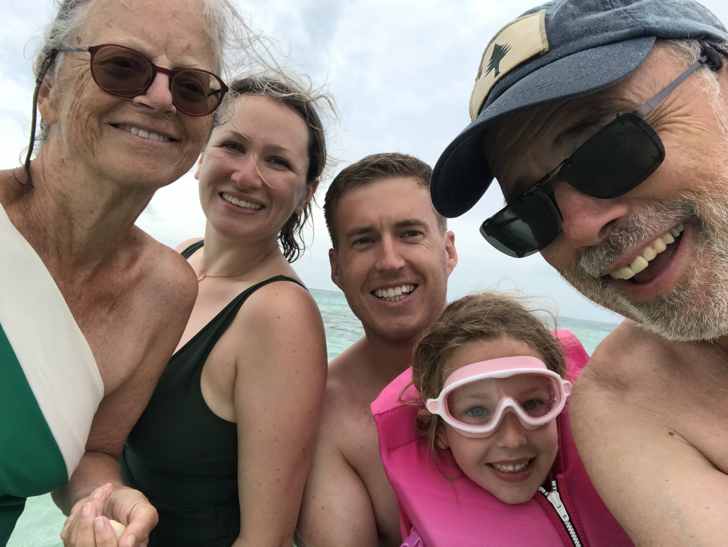 |
| Molly, Liz, Matt, Charlotte and Bill. |
We repeatedly heard that Harbour Island is called the
Nantucket of the Bahamas. That may not
be the best analogy, but it is a bustling place, with hundreds, if not
thousands, of tourists and golf carts everywhere. There are numerous restaurants, three major
marinas, many resorts and a beautiful, pink-hewed sand beach on the ocean side
of the 3.5-mile island. Much of the
island caters to revelers, and we were fortunate to be south of the hustle
bustle. Romora Bay has a beautiful pool
along with easy beach access on the oceanside.
We made extensive use of both and also made two trips on our boat to Man
Island. It was a great time with Liz and
family.
 |
| We walked right off Salty Paws to the beach on Man Island. |
 |
| Matt and Liz in the surf on Pink Sand Beach. |
 |
| Charlotte seemed to spent more time in the pool at Romora than sleeping. The first boat on the background right is the top of Salty Paws. |
 |
| The Miles family did a lot of smiling. |
 |
| Charlotte discovered Shirley Temples on Harbour Island and particularly liked the cherries. |
 |
| We had our own dock space, where we could hang out. Charlotte and Tory became buddies. |
 |
| This shows our route from Harbour Island to West Palm Beach. The lines in white indicate a speed over 20 mph. |
We departed shortly after dawn. The Devil’s Backbone passage was uneventful
and soon we were in open ocean with a few thousand feet below our keel. The 5-foot swells and southeast wind are off
our starboard stern. We were able to
cruise at 20-25 mph, which we needed to do if we were to reach Florida by
nightfall, but we had an uncomfortable 30-mile crossing until we get partially
in the lee of Great Abaco Island. The
seas then began to flatten and the winds lessen.
Going WOT (wide open throttle) keeps us around 25 mph, but
eats up our gas, and after 150 miles we limped into Lucaya, Grand Bahama, with
our tank indicator blinking near empty. We refueled
and checked out of Bahamian Customs, which is a new procedure imposed upon the
Bahamas by the US Government so that there is a record of departure. In an hour we were back on course for Florida.
 |
| Salty Paws anchored off Peanut Island, a great island park. |
 |
| Photos don't adequately capture the rich blue of the Bahamian ocean waters. |
 |
| Molly was given a choice of cast colors. Her selection goes well with the boat! |
The next two days involved two medical visits for Molly. She does, indeed, have a broken wrist, but is in great spirits and glad to be back in the States. Tomorrow we will slowly begin our trek north.
Thank you so much for sharing your story. It is so much fun to follow and I look forward to take my Rosborough over as well.
ReplyDeleteI hope Molly gets better soon.
Cheers,
Eric
Thank you, Eric. Molly is feeling much better and loves the color of her cast!
DeleteExcellent journal, glad you got such great time with Charlotte and family, and glad that you're safely back in the states but sorry that Molly had to deal with a broken wrist on top of a long crossing- wishing her a speedy and uncomplicated recovery. Looking forward to August!
ReplyDeleteThank you and so looking forward to see you both in August!
DeleteVery enjoyable reading! What equipment or app do you use to produce your tracking maps?
ReplyDeleteThe maps that I have posted were screenshots from my NEBO app.
Delete